Orthodrone


We offer advanced, ultra-high-resolution spatial data acquisition and scientific analyses services for your industry or research needs.
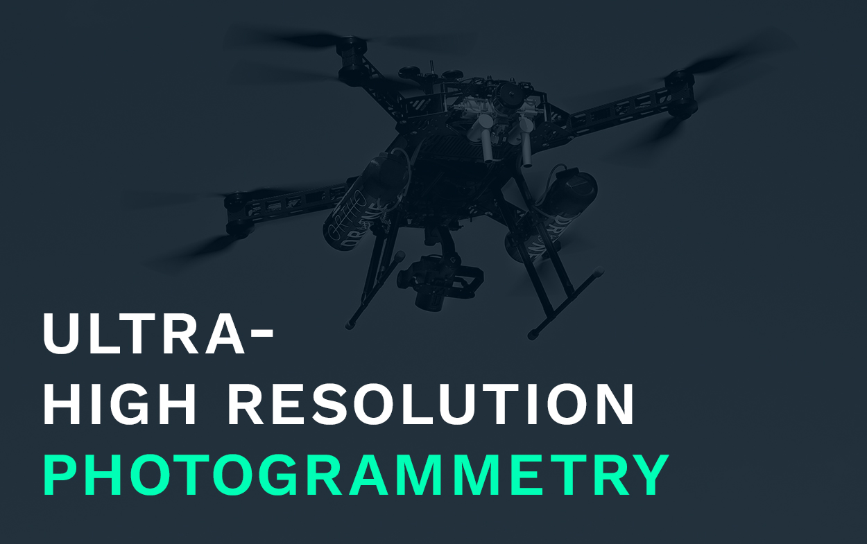
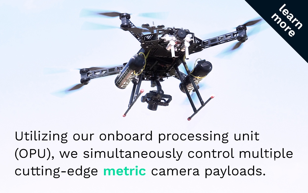
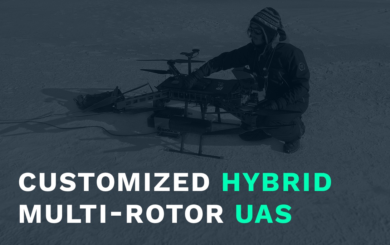
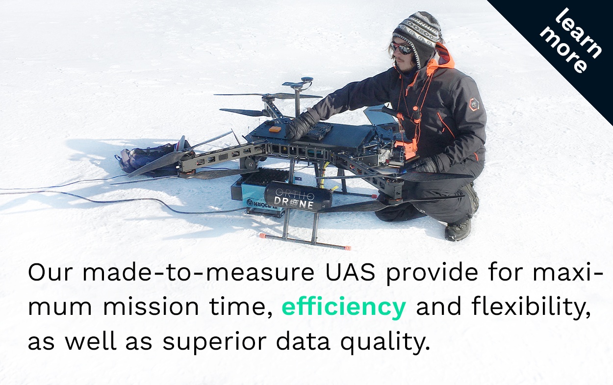
Utilizing customized hybrid UAS with survey-grade sensors and in-house control solutions, we are your versatile and reliable partner for surveying and modeling.
Our on-site spatial data services revolutionize asset management for the energy, transport and infrastructure sectors.
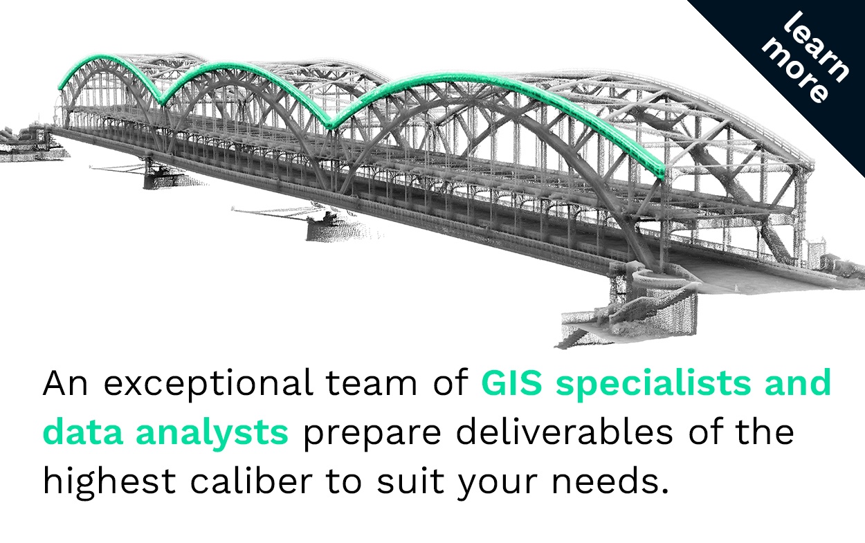
Orthodrone’s proprietary UAS technology yields safer and more cost-effective automated inspections of power transmission systems, roads, turbines, dams, pipelines, etc.
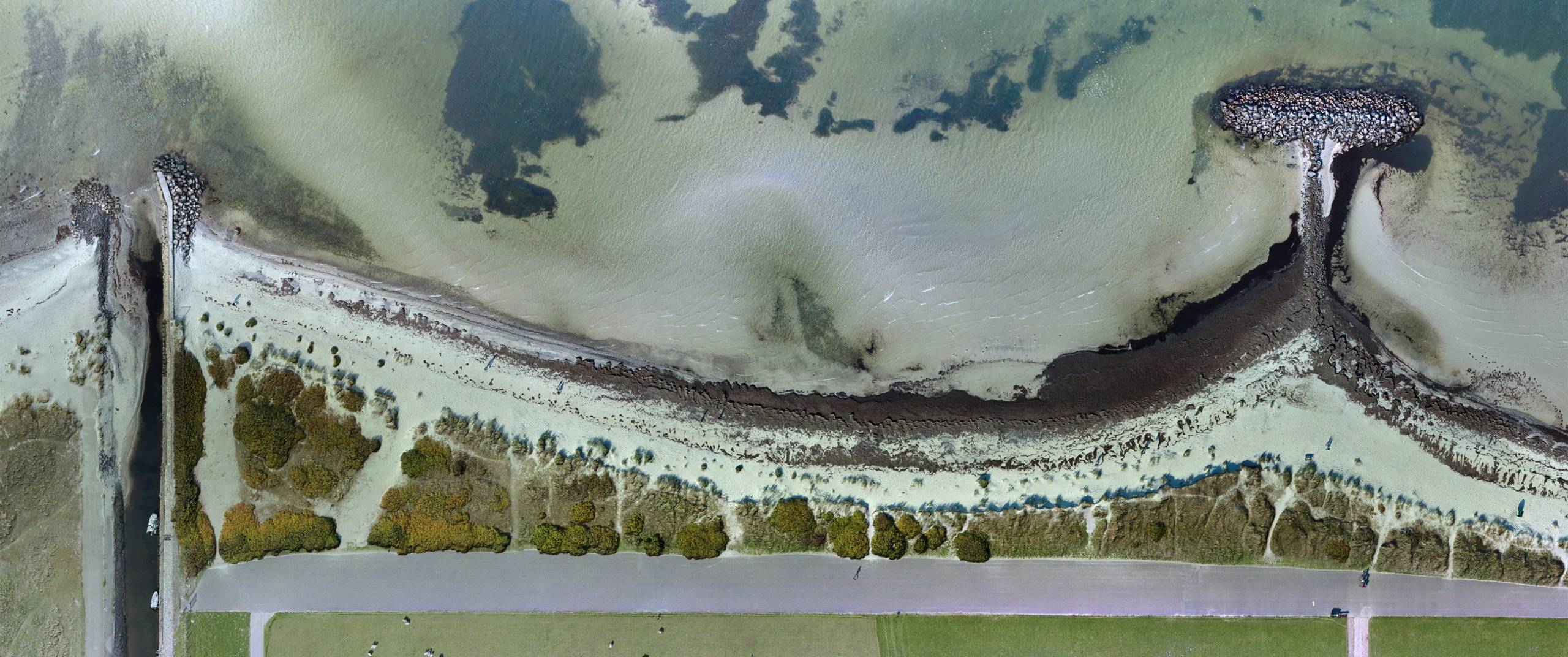
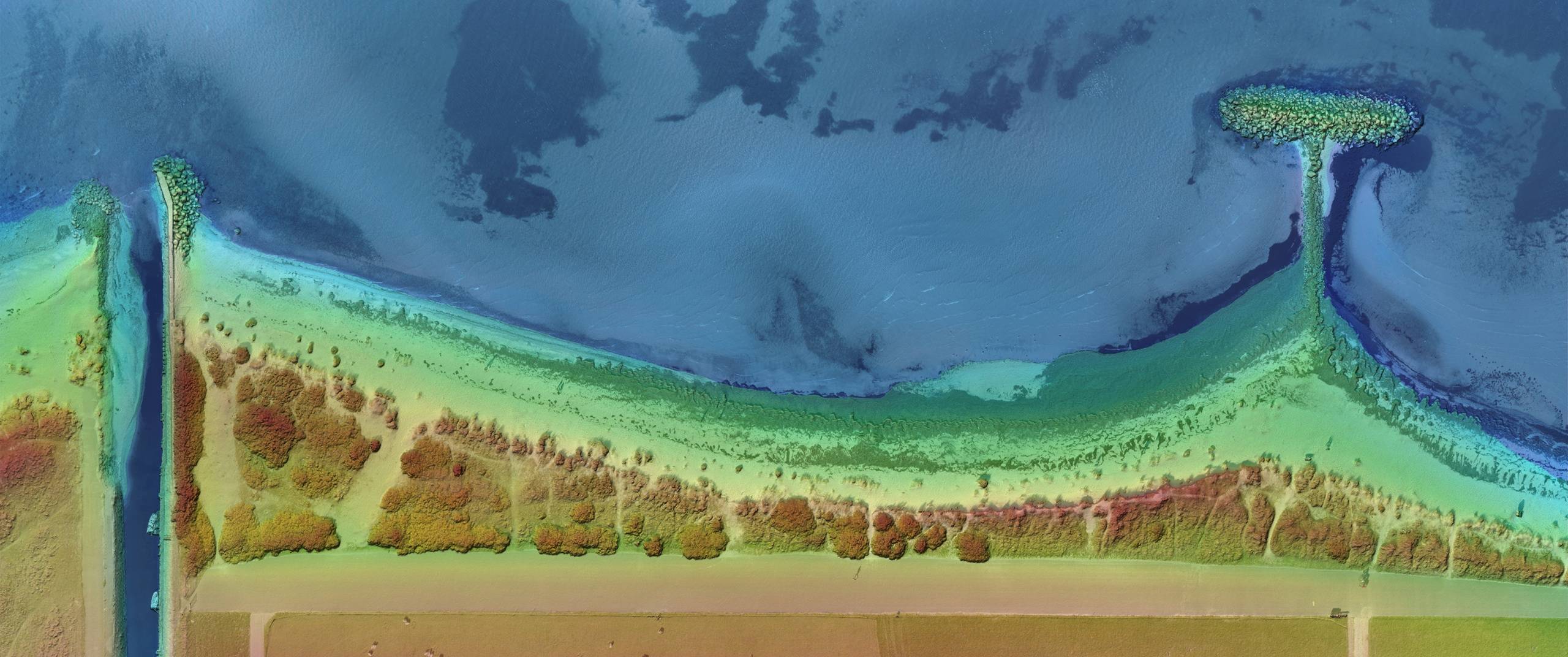
We have a proven track record in coastal and offshore operations.
Our portfolio includes diverse maritime projects involving port infrastructure, icebreaker lead modeling, erosion monitoring, shoreline change detection and other activities in and around navigable waterways.
We complete missions in harsh environments with extreme conditions.
From mapping nunataks among the icy crags of Antarctica to performing damage assessments in the wake of natural disasters, our teams have consistently and successfully gathered data in hazardous or hard-to-reach areas.
We are fully equipped for surface mass balance analyses, where the applications are limitless.
Especially useful for mining and construction sites, we provide aerial intel for monitoring project phases. Modeling glacial retreat, we also conduct assessments for continuous mass movements.
Accomplished in natural and cultural resource management, we integrate our cutting-edge technology with proven research methods for site predictions, exploration and modeling.
Use cases include analyses of vegetation, biodiversity, eutrophication, as well as archaeological and cultural heritage sites.

Methods & Concepts:
DAM FINE DATA:
Sub-Millimeter-Resolution
UAS Dam Surveys
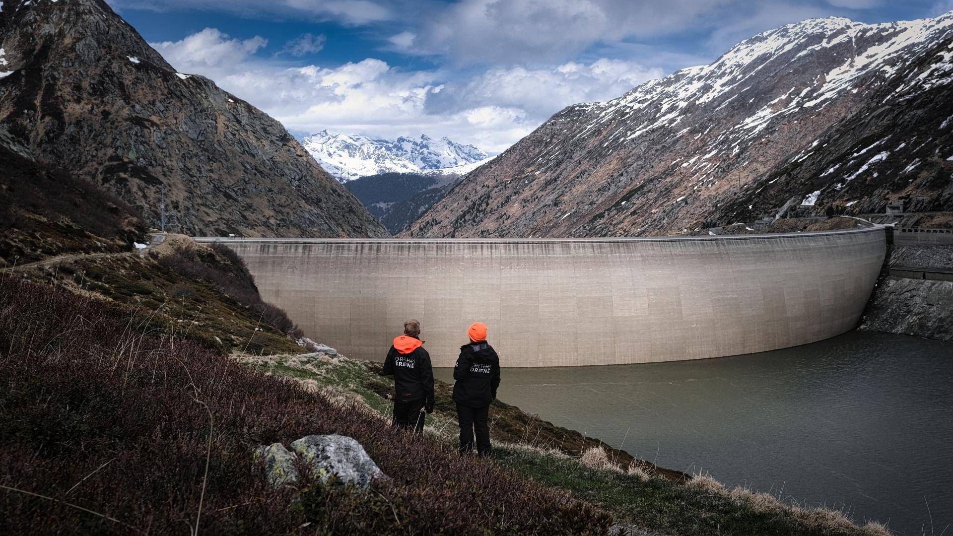
In early 2021, we made our way to two Swiss hydropower plants scheduled for water-side dam inspection – no easy feat, given the meters of snow closing off many alpine roads during winter.
Fitted with survey-grade, metric sensors, our UAS can offer safer access and increased cost-effectiveness over more traditional inspection methods, while also providing comparable or better data.
Read on to learn more about UAS dam surveys - and how they benefit from sub-millimeter resolution.
Methods & Concepts:
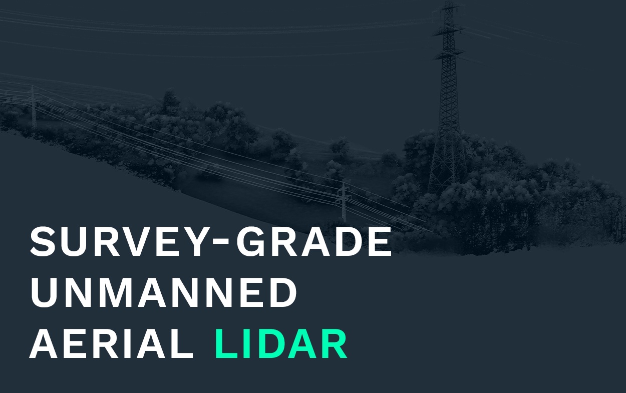
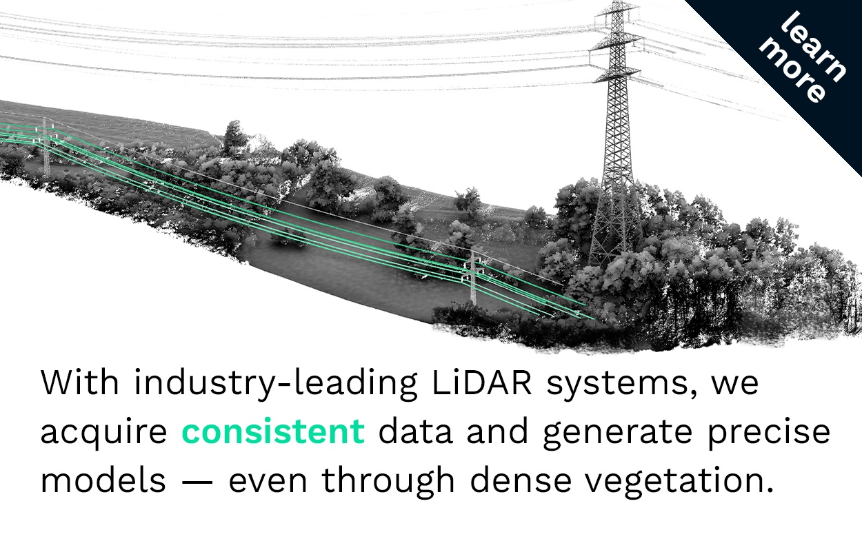
Uncrewed LiDAR Powerline Surveys
An Alternative to Helicopter Flights?
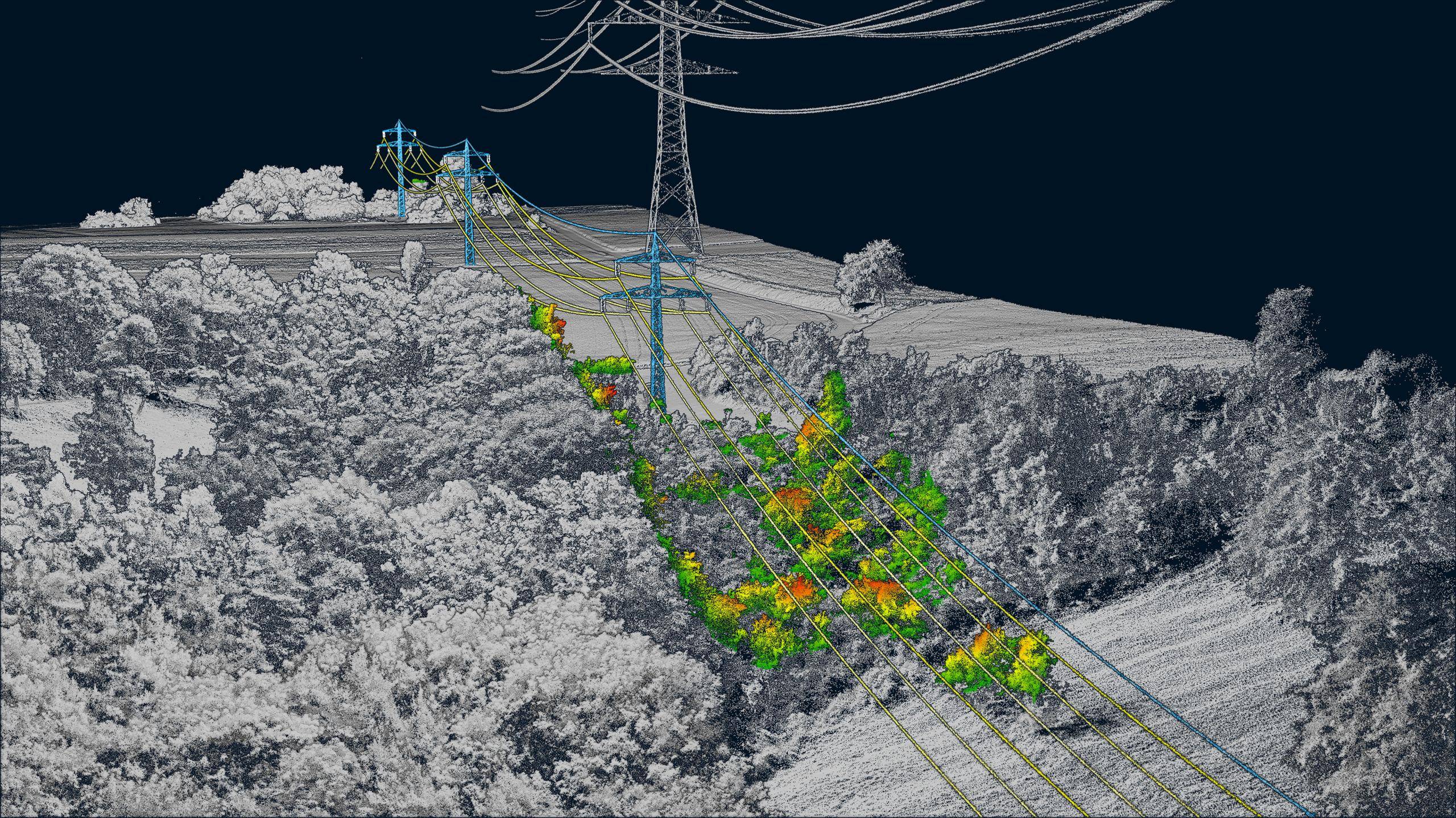
A faulty electrical transmission line in 2018 led to the deadliest and most destructive wildfire in California history. Worldwide, the inspection of powerlines is a major challenge for every power provider.
When looking at LiDAR powerline surveys, utilities have to choose between two approaches: inspect by helicopter or drone?
Read up on when, why and how we utilize hybrid drones to keep up with the big birds!
Methods & Concepts:
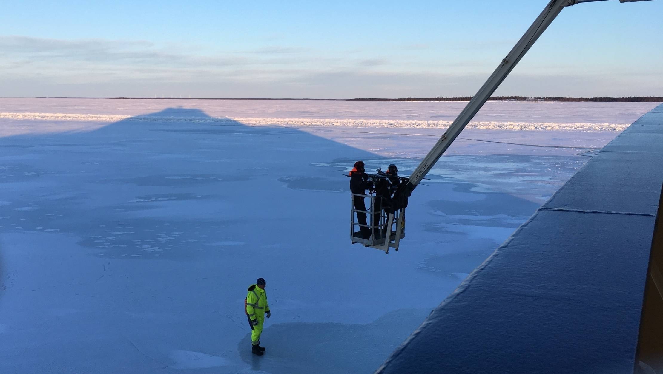
Breaking the Ice
Real-time information of current ice conditions is vital for ice breaker operation and mission planning.
Gearing up, we embarked on the Swedish icebreaker Atle for a week on solid water.
Deploying our custom hybrid UAS with multiple passive and active sensor payloads, we are helping to carve out new methods of optimizing data-driven icebreaker operations in the Bay of Bothnia.
Mission Report:
The Balancing Act
After several days of acclimatization in La Paz, Bolvia, our team headed out into the high Andean terrain of the central Cordillera Real.
Surveying 6,000 Meters above MSL challenged personnel and equipment, as our team collected crucial data on snow cover and glacier structure during the critical time frame of optimal melt.
Mission Report:
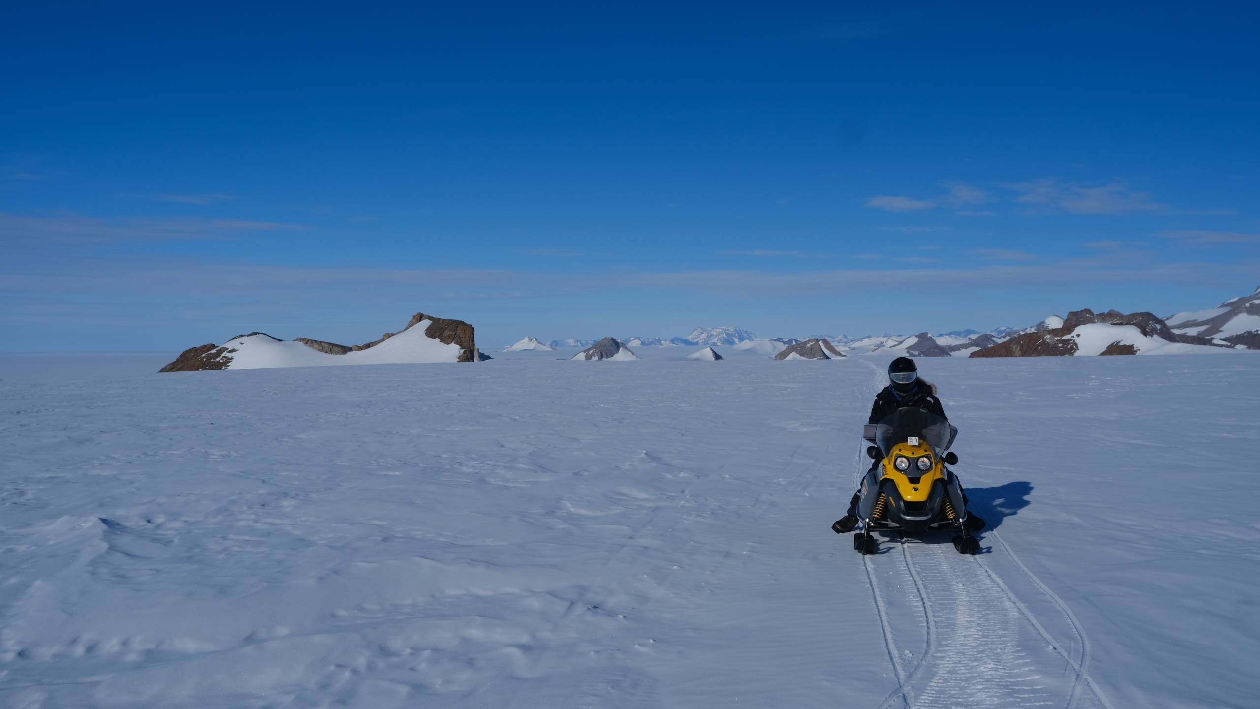
Frozen Alive
In one of the harshest environments our planet has to offer, microbes are clinging to life on barren outcrops, scattered in the white desert.
Modeling nunataks in the Sør Rondane Mountains, the gathered photogrammetric data will support cutting-edge research on Antarctic biocrusts.


Methods & Concepts:
DAM FINE DATA:
Sub-Millimeter-Resolution
UAS Dam Surveys
In early 2021, we made our way to two Swiss hydropower plants scheduled for water-side dam inspection – no easy feat, given the meters of snow closing off many alpine roads during winter.
Fitted with survey-grade, metric sensors, our UAS can offer safer access and increased cost-effectiveness over more traditional inspection methods, while providing comparable or better data.
Read on to learn more about UAS dam surveys - and how they benefit from sub-millimeter resolution.
Methods & Concepts:
Uncrewed LiDAR Powerline Surveys
An Alternative to Helicopter Flights?
A faulty electrical transmission line in 2018 led to the deadliest and most destructive wildfire in California history. Worldwide, the inspection of powerlines is a major challenge for every power provider.
When looking at LiDAR powerline surveys, utilities have to choose between two approaches: inspect by helicopter or drone?
Read up on when, why and how we utilize hybrid drones to keep up with the big birds!
Mission Report:
Frozen Alive
In one of the harshest environments our planet has to offer, microbes are clinging to life on barren outcrops, scattered in the white desert.
Modeling nunataks in the Sør Rondane Mountains, the gathered photogrammetric data will support cutting-edge research on Antarctic biocrusts.
Mission Report:
The Balancing Act
After several days of acclimatization in La Paz, Bolvia, our team headed out into the high Andean terrain of the central Cordillera Real.
Surveying 6,000 Meters above MSL challenged personnel and equipment, as our team collected crucial data on snow cover and glacier structure during the critical time frame of optimal melt.
Methods & Concepts:
Breaking the Ice
Real-time information of current ice conditions is vital for ice breaker operation and mission planning.
Gearing up, we embarked on the Swedish icebreaker Atle for a week on solid water.
Deploying our custom hybrid UAS with multiple passive and active sensor payloads, we are helping to carve out new methods of optimizing data-driven icebreaker operations in the Bay of Bothnia.
Orthodrone has provided sharp, unmanned LiDAR data for our projects since 2019, utilizing customized hybrid UAS.
Happy to work with such a talented and energetic team!
Markku Koivisto
Vice President Sales
(EMEA, LATAM & APAC)
SharperShape

The high point density of Orthodrone’s UAV-based LiDAR provides a high-resolution overview of our assets and the surrounding vegetation.
Their online viewer gave us direct access to the clouds of powerlines, masts and terrain, which made it possible to share the information with our staff in the blink of an eye.
Mario Gnädig
Ingenieur Intelligente Netze
Technik Innovation
Netze BW GmbH

In March 2020, we contracted Orthodrone to perform drone trials in sea ice from the Swedish icebreaker Atle in the northern Bay of Bothnia.
The purpose was to find out how advanced instruments could be of use in icebreaking operations.
The excellent job by Orthodrone was a key factor in achieving our goal in the pilot project!
Robin Berglund
Senior Scientist
VTT Technical Research Centre of Finland

We needed (sub)millimeter resolution surveys for the water side inspection of two dams in the Swiss Alps with limited accessibility during winter.
The project tested personnel and equipment, as they performed long hours through snow and wind gusts in the mountains. We were impressed by Orthodrone's adaptability, delivering excellent results in the end.
T. Zimmer
Senior Surveyor
Axpo Power AG

The combination of hybrid UAVs, photogrammetry and LiDAR opens the door to a new era of automated inspection and modeling.
New systems and innovative solutions for automated maintenance inspection, infrastructure management and erosion monitoring are sure to greatly enhance port safety and efficiency.
Christian Bahr
Business Manager
Autonomous Systems
Hamburg Port Authority


